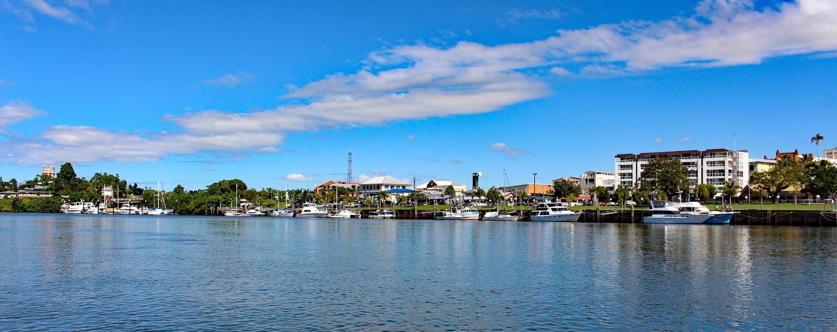
Mirriwinni is a town and a locality in the Cairns Region, Queensland, Australia.
The Russell River forms the eastern and south-eastern boundary, while Babinda Creek forms part of the northern boundary. The foothills of Mount Bartle Frere form the western boundary.
Most of the land in the locality is flat low-lying land (approx 10 metres above sea level) and is used for farming, predominantly growing sugarcane. However in the western edge of the locality, the land rises to up to 150 metres above sea level heading towards the peaks of Mount Bartle Frere in the adjacent locality of Wooroonooran.
Information sourced from Wikipedia
©2024 Babinda Real Estate |Privacy Policy |Disclaimer | Sitemap| Marketing byReal Estate Australiaand ReNetReal Estate Software


