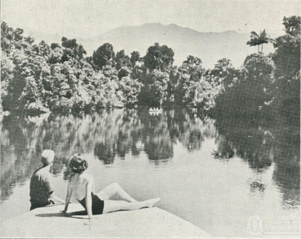
Deeral
Deeral is a rural district 40 km south of Cairns. The place was first named Munros Creek, probably after W. Munro, the chair of Cairns Division/Shire, 1897-1912. Cairns Division funded and built the Cairns-Mulgrave tramway (1897), and Munros Creek was one of its stations. In 1907 the station was renamed Deeral, a word thought to derive from an Aboriginal word meaning teeth.
Deeral is east of the Bellenden Ker Range, in the Russell River valley. The north-flowing Russell joins the south-flowing Mulgrave River, and their confluence enters the Pacific Ocean through Russell Heads. The valley has alluvial flats and a high rainfall, ideal for sugar cane.
Deeral has a mixture of cane farms and rural/residential holdings. There is ample access to inland fishing and boating. The river mouth adjoins the Russell River National Park which is entered along the coast from Bramston Beach. West of Deeral and the highway/railway corridor there is the Wooroonooran (formerly Palmerston) National Park, occupying the Bellenden Ker and Francis Ranges where the headwaters of the Russell River are found.
Information sourced from http://queenslandplaces.com.au/deeral
Map